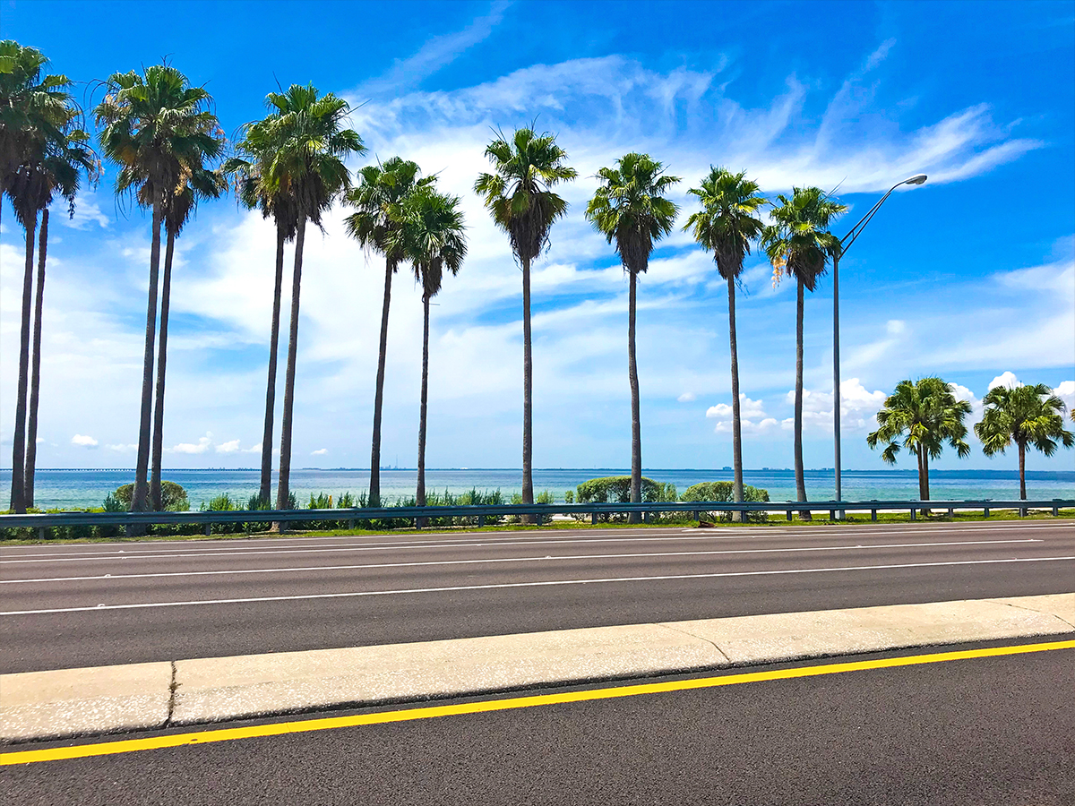
Crossing eight states across the Sunbelt, iconic Interstate 10 provides a perfect way to take advantage of lots of winter sunshine, sightseeing, and activities in the southern half of the United States. Running about 2,460 miles from Santa Monica, California, to Jacksonville, Florida, I-10 awaits wandering wintertime snowbirds.
I-10 is the southernmost cross-country highway in America’s road system and is the fourth longest interstate (following I-90 at about 3,020 miles, I-80 at around 2,900 miles, and I-40 at about 2,560 miles). Officially and partially opened in 1957, it was part of an originally planned network from 1956 (Dwight D. Eisenhower’s System of Interstate and Defense Highways), with the final section not completed until 1990. In 1994, the American Society of Engineers deemed America’s highway system one of the “Seven Great Construction Wonders of America,” joining the likes of the Hoover Dam and the Golden Gate Bridge.
Fabled I-10 starts, or ends, at State Route 1 in Santa Monica, which is the Pacific Coast Highway, another legendary route. I-10’s eastern end is at north-south running I-95, which connects Florida and Maine along its approximately 1,908 total miles.
Running about 243 miles eastward through the Golden State, I-10 intersects with I-5 in Los Angeles and I-15 in Ontario. The highway has various names along the way, ranging from the Christopher Columbus Transcontinental Highway at its start to the Sonny Bono Memorial Freeway in Palm Springs, which is a tribute to the Sonny half of Sonny & Cher, who later served as the city’s mayor and a U.S. Congressman.

Sunny Arizona remains as popular as ever with sunbirds. The 392-mile stretch includes crossing I-17 in Phoenix, as well as the northern terminus of I-19. After heading through Tucson, I-10’s highest point is found 20 miles west of the city, at MM 320 in Wilcox, which is also the exit for the fascinating Amerind Museum (dedicated to Native American art, history, culture, and archaeology). The westbound lanes of I-10 here briefly rise above 5,000 feet.
New Mexico is next, with about 164 miles of unique landscapes, as well as the southern terminus of I-25 in Las Cruces, near New Mexico State University’s campus. Trailblazers looking for a shortcut to an Albuquerque side trip adventure can take State 26 to I-25, before returning to I-10 and continuing east to Texas.
More than one-third of I-10’s total length is in Texas, where the interstate crosses the Lone Star State at its widest point. I-10 crosses into Texas at Anthony and includes the western terminus of I-20 in Scroggins Draw and crossings of I-35 in San Antonio and I-45 in Houston. When heading into Houston via Katy from the west, I-10 is known as the Katy Freeway, which sometimes features more than 25 lanes, making it one of the widest roads in the world. Ironically, El Paso is closer to I-10’s western terminus in Santa Monica than it is to Orange, on I-10 at the Texas-Louisiana state line.
With almost 275 miles, the drive through Louisiana is completely different from dessert drives out west. The pretty section of I-10 over the Atchafalaya Swamp in southern Louisiana remains an architectural wonder decades after it was completed. The southern terminus of I-55 is at I-10 in LaPlace, 30 miles west of New Orleans, which I-10 passes right through, though it’s impossible to just pass through the Big Easy for most visitors.

Those traversing this area should know about the “GATOR Trail,” which is part of the Gulf Alliance of Tourism Organization Representatives, a brand-new partnership sharing the unique culture of the Gulf Coast regions of Louisiana, Mississippi, and Alabama. This classic southern road trip encompasses eight distinctive destinations in three states that are linked by one body of water, thousands of fabulous recipes, millions of residents who make guests feel right at home, and countless extraordinary experiences. From east to west, highlights of the GATOR Trail include Orange Beach, Gulf Shores, Mobile, Ocean Springs, Biloxi, Bay St. Louis, Slidell, Mandeville, Covington, Metarie, Thibodaux, Houma, Lake Charles, and much more.
Mississippi (about 77 miles) and Alabama (about 66 miles) present the shortest sections of I-10, but there’s still lots to see and do in these Sunbelt states. Generally paralleling US 90 in Mississippi, I-10 runs along the Gulf Coast, including the northern outskirts of Gulfport and Biloxi, as well as skirting Bay St. Louis and NASA’s Stennis Space Center. Located on Mobile Bay, Mobile is certainly an Alabama I-10 highlight, where there’s also the southern terminus of I-65 and the George Wallace Tunnel under the Mobile River (which features what is likely
the sharpest curve on I-10).
Laser-straight driving, lush landscapes, and low populations generally await Florida explorers along I-10 through the pretty Panhandle. Running 362 miles, I-10 includes the crossing of Florida’s I-75, which runs about 1,786 miles from Hialeah in South Florida to Sault St. Marie, Michigan. I-10 ends, or begins, at I-95 in Jacksonville, which provides yet another opportunity for an interstate adventure in the United States.

